Backorder - 15 - 30 days. BACKORDER
150 ELITE Points earned with this purchase! Earn 250 for a $10 Reward!
Not an ELITE Member? Join ELITE here
Add an extra dimension to your maps.
You live in a 3D world-your maps need to be 3D, too. Representing and reviewing data on maps in 3D lets you explore complex spatial relationships in new ways, allowing you to identify patterns and potential problems more effectively. But creating digital 3D maps that are accurate, intuitive, engaging, and easily navigable can seem daunting, even to experienced cartographers.
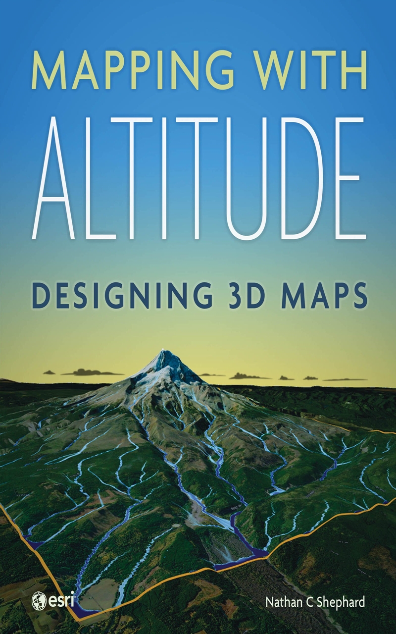
Mapping with Altitude: Designing 3D Maps helps you create clear, compelling cartographic representations in 3D that are both eye-catching and informative. Written by Esri senior product engineer and frequent Esri UC workshop presenter Nathan C Shephard, this book uses a fun and enthusiastic approach to explore the concepts, challenges, and opportunities in 3D cartography.
Using easy-to-understand workflows, this book:
Introduces new twists on well-defined 2D cartographic principles, such as size, color, and text.
Demonstrates how the z-dimension can convey time.
Discusses the best delivery mechanism for your 3D content.
Mapping with Altitude focuses on the practical decisions and specific techniques you'll use as you boldly enter the world of 3D map authoring in ArcGIS.
Title: Mapping with Altitude
Format: Paperback Book
Release Date: 23 Oct 2024
Type: Nathan C Shephard
Sku: 3123580
Catalogue No: 9781589485532
Category: Reading

 |
Help you find exactly what you are looking for, even if you aren't sure yourself! |
 |
Track down the hard to find as quickly as possible - if it's available, we will get it! |
 |
Deliver fast and friendly service to every customer. |
 |
Provide you with the hottest, the latest and a great range. |
 |
And if you're not satisified, you can exchange or with a receipt, get your money back - no questions asked! |