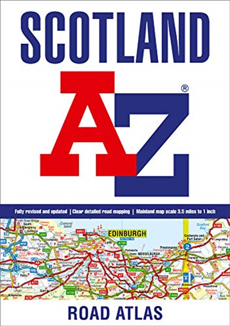
Navigate your way through Scotland with this detailed, full-colour and user-friendly A-Z Road Atlas. From the border to the north coast, the mainland pages scale is 3.5 miles to 1 inch and the Western Isles, Shetland Islands and Orkney Islands scale is 4.5 miles to 1 inch.
Covering the entire country, this road atlas includes the following features:
* Motorways with full junction detail, primary routes and destinations, A & B roads, under construction and proposed roads, service areas, tolls, mileages, national, county and unitary authority boundaries
* Selected safety camera locations with speed limits
* Selected fuel stations
* Cairngorms and Loch Lomond & The Trossachs National Park boundaries
* Hill shading sourced from Geo-Innovations (c) www.geoinnovations.co.uk
* Selected places of interest and tourist information centres
20 city and town street maps are included for Aberdeen, Aviemore, Ayr, Dumfries, Dundee, Dunfermline, Edinburgh, Glasgow, Falkirk, Fort William, Hamilton, Inverness, Kilmarnock, Kirkcaldy, Motherwell, Oban, Paisley, Perth, St Andrews and Stirling. Also included is a comprehensive index to cities, towns, villages, hamlets and locations.
Title: Scotland A-Z Road Atlas
Format: Paperback Book
Release Date: 07 Apr 2021
Type: Geographers A Z Map Co Ltd
Sku: 2619468
Catalogue No: 9780008388218
Category: Geography

 |
Help you find exactly what you are looking for, even if you aren't sure yourself! |
 |
Track down the hard to find as quickly as possible - if it's available, we will get it! |
 |
Deliver fast and friendly service to every customer. |
 |
Provide you with the hottest, the latest and a great range. |
 |
And if you're not satisified, you can exchange or with a receipt, get your money back - no questions asked! |